


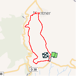

6.7 km | 11.4 km-effort


User


FREE GPS app for hiking
 SityTrail
IGN / Geographical institutes
SityTrail World
The world is yours!
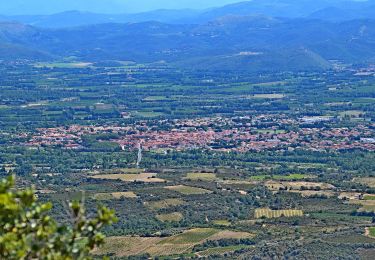
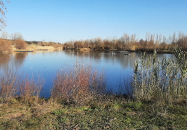
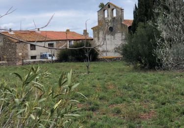
Trail Walking of 7.4 km to be discovered at Occitania, Pyrénées-Orientales, Millas. This trail is proposed by jeff66.
M66 - Millas força réal col del Bou - Montner - le 12.01.2018
On foot

Walking
Walking
Walking

Walking

Walking

Walking

Walking

Walking