


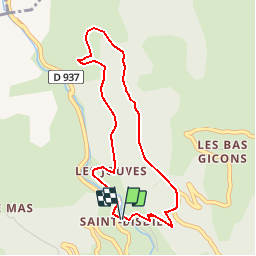


9 km | 16 km-effort

Les Hautes Alpes à découvrir ! GUIDE+


FREE GPS app for hiking
 SityTrail
IGN / Geographical institutes
SityTrail World
The world is yours!
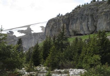
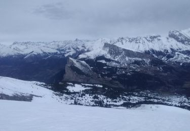
Trail Walking of 4.1 km to be discovered at Provence-Alpes-Côte d'Azur, Hautes-Alpes, Le Dévoluy. This trail is proposed by Camping Les Rives du Lac.
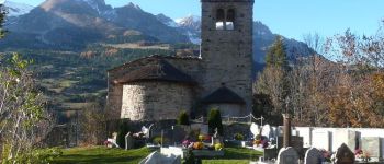
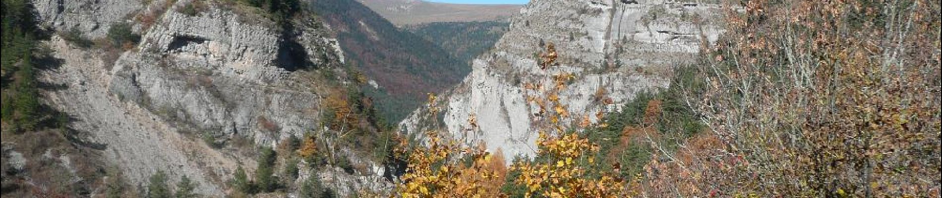
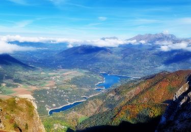
A small path allows you to discover Mother Church and a magnificent view over the valley. To couple with the source of Gillardes and the Défilé de la Souloise! Visits are free but possible only on certain days.


Walking
Walking

Walking

Walking
Walking
Walking
Walking
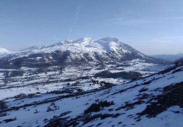
Touring skiing
Touring skiing