


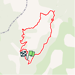


38 km | 54 km-effort

Les Hautes Alpes à découvrir ! GUIDE+


FREE GPS app for hiking
 SityTrail
IGN / Geographical institutes
SityTrail World
The world is yours!
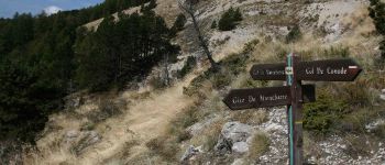
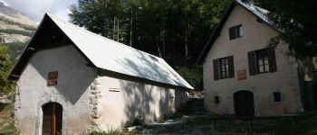
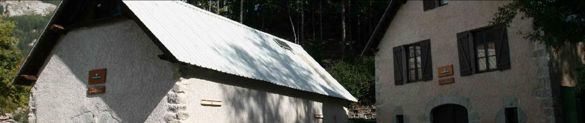
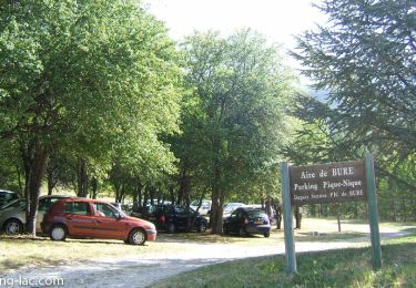
Trail Walking of 8.9 km to be discovered at Provence-Alpes-Côte d'Azur, Hautes-Alpes, La Roche-des-Arnauds. This trail is proposed by Camping Les Rives du Lac.
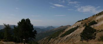
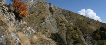
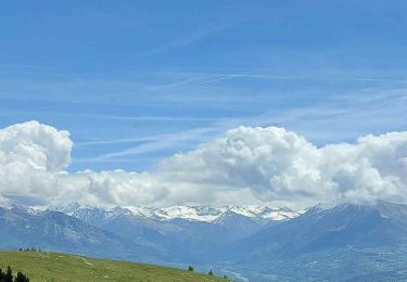
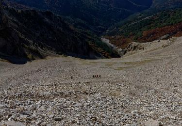
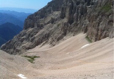
Hiking without technical difficulty that offers a beautiful view of the Dévoluy massif


Mountain bike

Mountain bike

Mountain bike
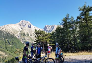
Mountain bike
Walking
Walking

Walking
Walking
Walking