


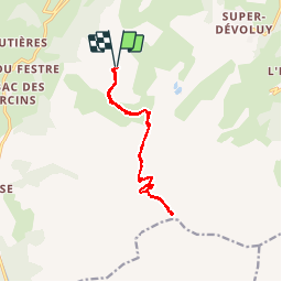


9 km | 16 km-effort

Les Hautes Alpes à découvrir ! GUIDE+


FREE GPS app for hiking
 SityTrail
IGN / Geographical institutes
SityTrail World
The world is yours!
Trail Walking of 11.9 km to be discovered at Provence-Alpes-Côte d'Azur, Hautes-Alpes, Le Dévoluy. This trail is proposed by Camping Les Rives du Lac.
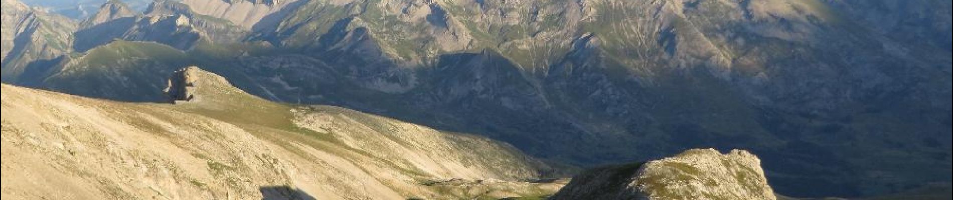
From Sunday to Thursday in July and August, it is possible to take the Joue du Loup chairlift. This makes it possible to go up to the observatory quite quickly. But beware, you're in the mountains, and you should not do this trek without hot equipment, without experience, and if the weather is not good. You can extend the hike and go to Pic de Bure


Walking

Walking

Walking

Walking

Walking

Walking

Walking

Walking
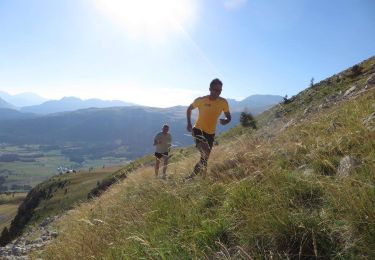
Running