


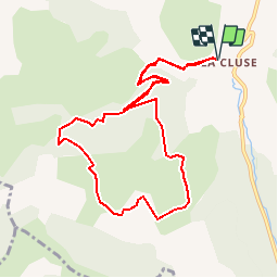

8.5 km | 15.9 km-effort

Les Hautes Alpes à découvrir ! GUIDE+


FREE GPS app for hiking
 SityTrail
IGN / Geographical institutes
SityTrail World
The world is yours!
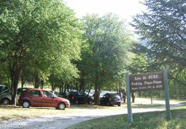
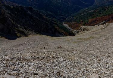
Trail Walking of 10.4 km to be discovered at Provence-Alpes-Côte d'Azur, Hautes-Alpes, Le Dévoluy. This trail is proposed by Camping Les Rives du Lac.
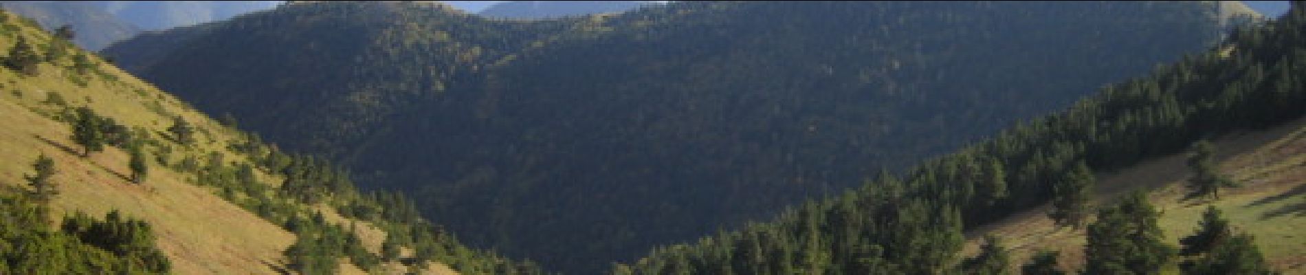
Route mainly taking forest tracks (except the climb to the Aune pass) and therefore very easy. Shaded course, to do so in hot weather. Grand Panorama on the Shepherds' Ridge


Walking

Walking

Walking

Walking
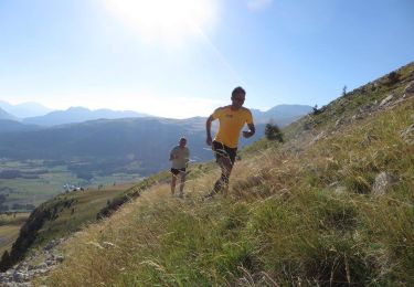
Running

Mountain bike
Walking

Walking
Walking