


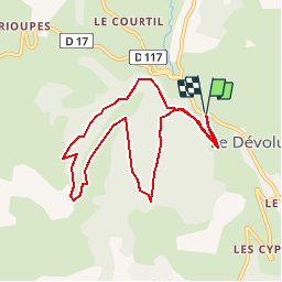


10.6 km | 17.9 km-effort

Les Hautes Alpes à découvrir ! GUIDE+


FREE GPS app for hiking
 SityTrail
IGN / Geographical institutes
SityTrail World
The world is yours!
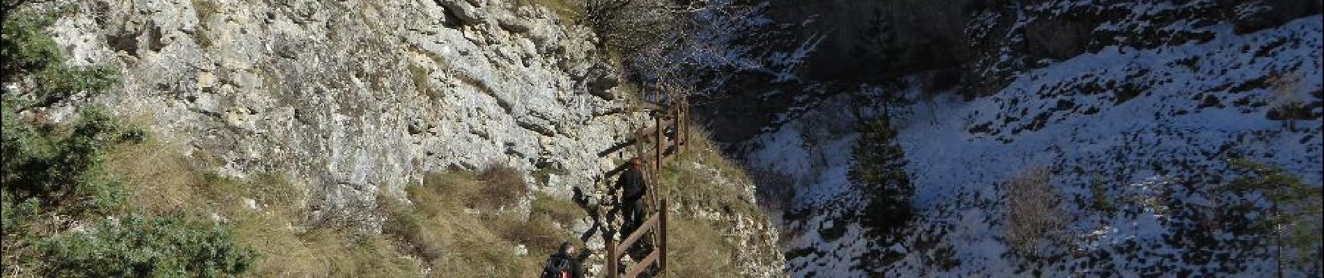
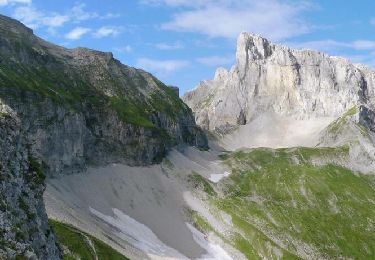
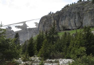
Trail Walking of 9 km to be discovered at Provence-Alpes-Côte d'Azur, Hautes-Alpes, Le Dévoluy. This trail is proposed by Camping Les Rives du Lac.
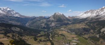
A rather short and easy hike but which offers a circular point of view on the whole massif. To do if you only have to do one hike in the Dévoluy!


Walking

Walking

Walking

Mountain bike

Walking
Walking
Walking

Walking

Walking
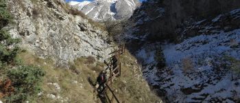
magnifique rando sans aucune difficulté majeure. vue magnifique sur tout le devoluy. deux petites erreurs de trace sur la descente, suivre simplement le sentier.