


5.9 km | 10.4 km-effort

Les Hautes Alpes à découvrir ! GUIDE+


FREE GPS app for hiking
 SityTrail
IGN / Geographical institutes
SityTrail World
The world is yours!
Trail Walking of 7.1 km to be discovered at Provence-Alpes-Côte d'Azur, Hautes-Alpes, Aspres-sur-Buëch. This trail is proposed by Camping Les Rives du Lac.
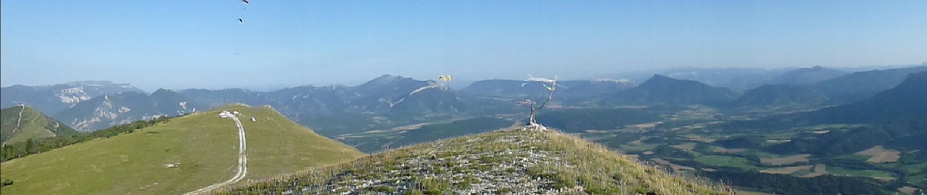
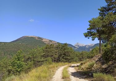
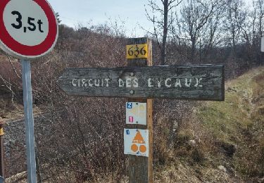
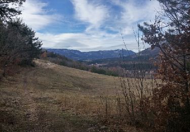
Les crêtes de la Longeagne offrent une vue remarquable et sont prisées des parapentistes et deltistes. On accède à ces crêtes en allant au village de La Faurie puis en suivant les indications « Vol Libre ». Route forestière pour monter mais de bonne qualité.


Walking
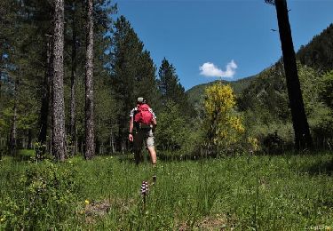
On foot
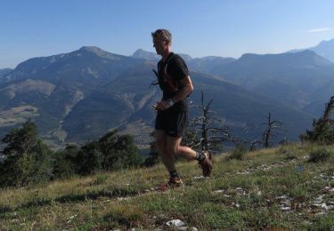
Running
Walking
Mountain bike
Walking
Walking

Mountain bike
Walking
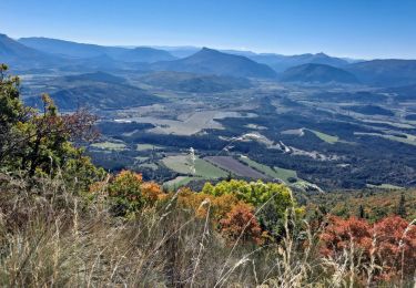
vue magnifique. randonnée facile