


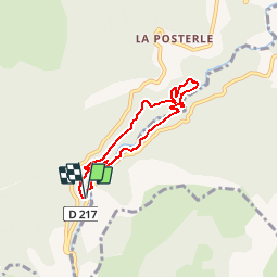


14 km | 25 km-effort

Les Hautes Alpes à découvrir ! GUIDE+


FREE GPS app for hiking
 SityTrail
IGN / Geographical institutes
SityTrail World
The world is yours!
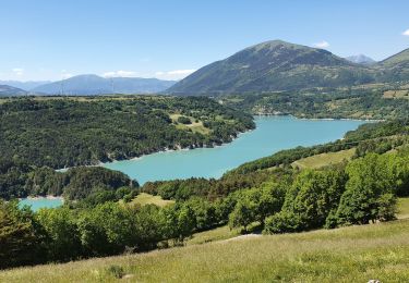
Trail Walking of 6.1 km to be discovered at Auvergne-Rhône-Alpes, Isère, Pellafol. This trail is proposed by Camping Les Rives du Lac.
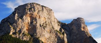
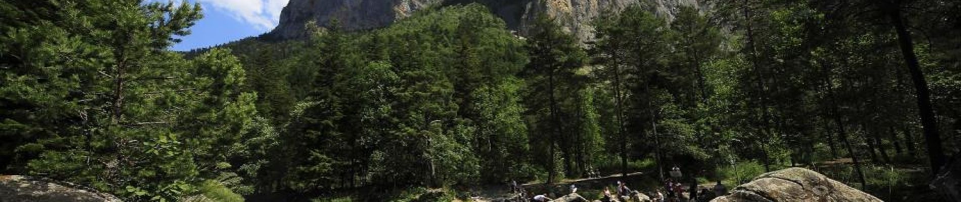
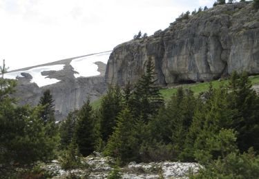
The parade Souloise can be admired through the path that goes to Mother Church, crossed through the road, and also through this small path after the parade. Under magnificent cliffs springs the spring of Gillardes. A very nice trail of about 5 kms leads you to different places. Possibilities of "bathing" at different places. Be careful, swimming can be dangerous during snowmelt and after heavy rains.


Walking

Walking
Walking

Walking
Walking
Walking
Walking
Walking
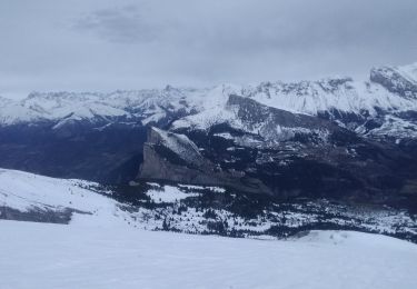
Touring skiing
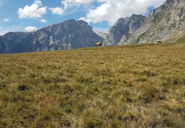
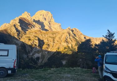
Very beautiful walk! On the way back you have less contact with the water and is more climbing (effort). You can easily take a shortcut if you like. Don't forget to walk to 'the cascades' at the end near the parking. Wonderful site!