


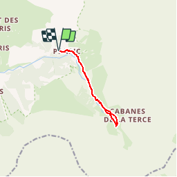


6.3 km | 9.9 km-effort

Les Hautes Alpes à découvrir ! GUIDE+


FREE GPS app for hiking
 SityTrail
IGN / Geographical institutes
SityTrail World
The world is yours!
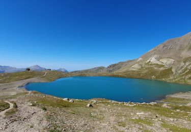
Trail Walking of 9 km to be discovered at Provence-Alpes-Côte d'Azur, Hautes-Alpes, Orcières. This trail is proposed by Camping Les Rives du Lac.
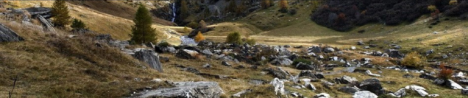
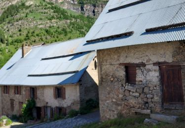
If you dream of getting close to wild marmots, after an easy 2h ride, go to Prapic, an hour away from Veynes. It is a tiny village of dry stone houses, bordering the Ecrins National Park. No dogs allowed. Take the road leading to the village. In the center of the village, "follow the sign Laire jump" street on the right. At the exit of the village a dirt road announces the first climb for 600m until the separation of the paths "leap of Laire" on the left and "plate of Basset" on the right. The hike continues on a very slight slope in the Drac valley. Then a climb a little more sustained gives access to the chapel of Saulce. From there, leave the path going on the right which goes down to the torrent to take the one on the left. The jump of the Laire is in sight in particular the waterfall. After 800m a last climb and it is the arrival on the bridge. After a short lunch with the marmots the return can be done by the path taking the left of the bridge facing Prapic to go down along the stream. The main path is recovered at the chapel level.

Walking
Walking
Walking
Walking
Walking

Walking
Walking
Walking

Snowshoes