


8.6 km | 18.5 km-effort

User


FREE GPS app for hiking
 SityTrail
IGN / Geographical institutes
SityTrail World
The world is yours!
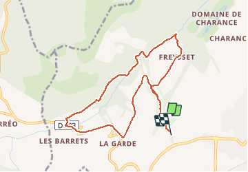
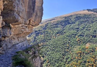
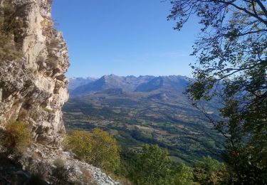
Trail Walking of 9.8 km to be discovered at Provence-Alpes-Côte d'Azur, Hautes-Alpes, Gap. This trail is proposed by Dervalmarc.
Randonnée agréable offrant tout au long du parcours une diversité de paysages.
Ne pas hésiter quand cela est possible de couper a travers champ pour limiter le bitume.
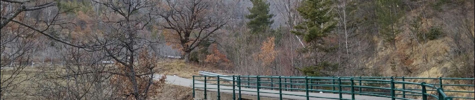
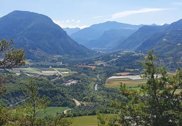
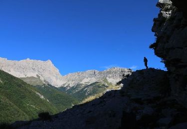
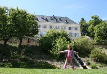
 - Photo 1")
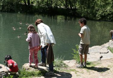
 - Photo 2")
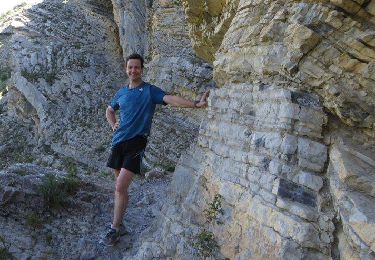
 - Photo 3")
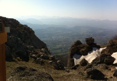
 - Photo 4")
 - Photo 5")
 - Photo 6")
 - Photo 7")
 - Photo 8")
 - Photo 9")
 - Photo 10")
 - Photo 11")
 - Photo 12")
 - Photo 13")
 - Photo 14")

Walking
Walking
On foot
Walking
Walking
Walking
Walking
Walking
Walking