


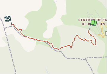


14 km | 25 km-effort

User GUIDE


FREE GPS app for hiking
 SityTrail
IGN / Geographical institutes
SityTrail World
The world is yours!
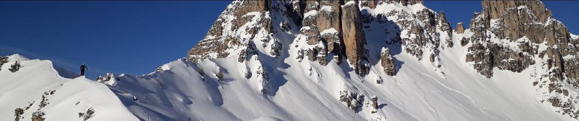
Trail Touring skiing of 3.3 km to be discovered at Provence-Alpes-Côte d'Azur, Hautes-Alpes, Réallon. This trail is proposed by R@ph.
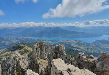
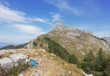
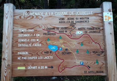
Au départ de la station la montée par le Serre du mouton puis la crête jusqu'à la table d'orientation.

Walking
Walking

Walking
Walking
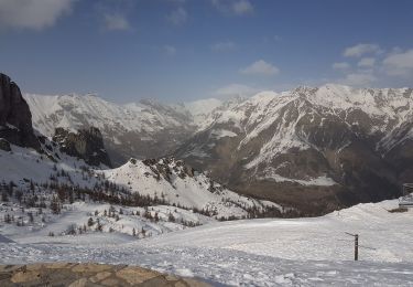
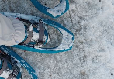
Snowshoes
Walking
Walking

Walking
Snowshoes