


9.9 km | 10.3 km-effort


User


FREE GPS app for hiking
 SityTrail
IGN / Geographical institutes
SityTrail World
The world is yours!
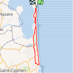
Trail Walking of 12.4 km to be discovered at Occitania, Pyrénées-Orientales, Canet-en-Roussillon. This trail is proposed by jeff66.
M66 CANET SUD - ST CYPRIEN PORT - AR - le 13.02.2018

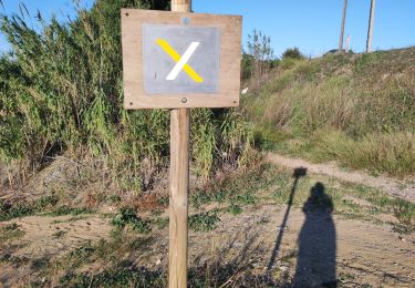
Walking

Walking

Walking

Walking

Walking

Walking
Walking

Walking

Walking