


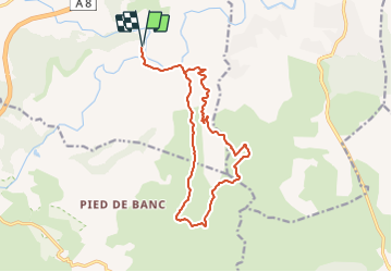

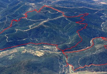
15.4 km | 22 km-effort


User


FREE GPS app for hiking
 SityTrail
IGN / Geographical institutes
SityTrail World
The world is yours!
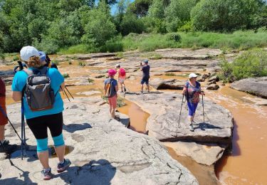
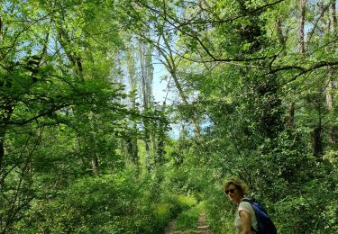
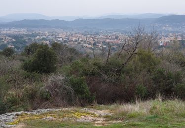
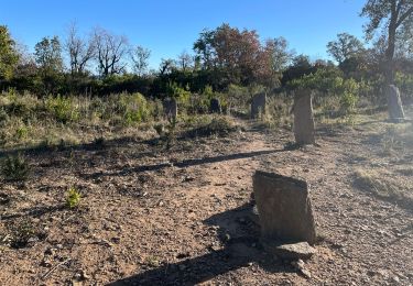
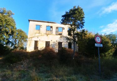
Trail Walking of 16.4 km to be discovered at Provence-Alpes-Côte d'Azur, Var, Les Arcs-sur-Argens. This trail is proposed by Sugg.
Prévision de rando pour 2018.
A reconnaitre.
Belle montée vers la citerne de la Rinne au Sud en 306, point le plus haut de la rando et contouremnt du sommet de Castel Diaou.
Walking

Walking
Walking
Walking
Walking
Walking
Walking
Walking
Walking