


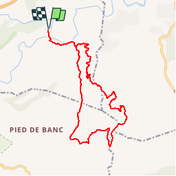

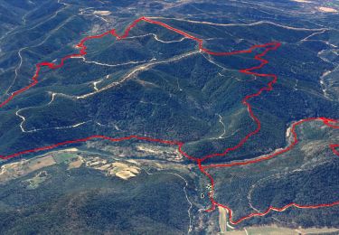
15.4 km | 22 km-effort


User


FREE GPS app for hiking
 SityTrail
IGN / Geographical institutes
SityTrail World
The world is yours!
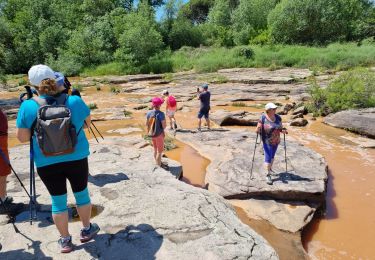
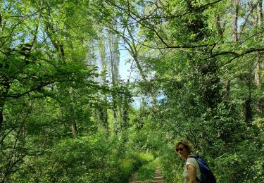
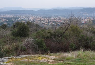
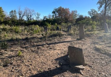
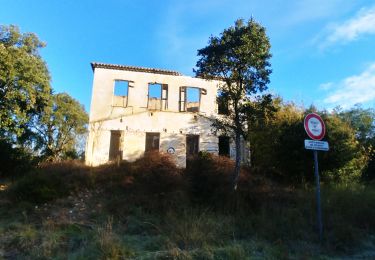
Trail Walking of 19.4 km to be discovered at Provence-Alpes-Côte d'Azur, Var, Les Arcs-sur-Argens. This trail is proposed by Sugg.
prévision rando 2018 La Rinne 306 version 2 plus longue de 3 kms et 130 m qui rejoint au Sud le vallon Marri Vallat.
Walking

Walking
Walking
Walking
Walking
Walking
Walking
Walking
Walking