


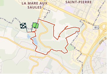


12.7 km | 15.4 km-effort


User


FREE GPS app for hiking
 SityTrail
IGN / Geographical institutes
SityTrail World
The world is yours!
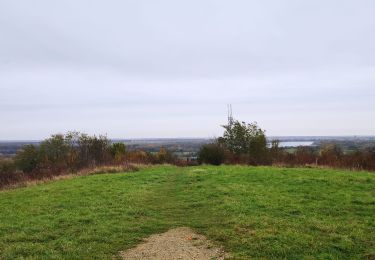
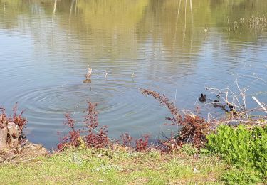
Trail Walking of 4.4 km to be discovered at Ile-de-France, Yvelines, Élancourt. This trail is proposed by microb.
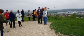
Ascension de la colline de la Revanche (d'Elancourt) en partant du bassin de la Muette.


Walking

Mountain bike
Mountain bike

Walking
Walking
Walking

Walking

Walking
Walking