Trail Walking Rencurel - Le Belvedère du Ranc par La Goulandière - Photo

Le Belvedère du Ranc par La Goulandière

 patjobou
patjobou

User

© OpenStreetMap contributors
Length
Length
15.1 km
Max alt
Max alt
1183 m
Uphill gradient
Uphill gradient
761 m
Km-Effort
Km-Effort  
25 km
Min alt
Min alt
655 m
Downhill gradient
Downhill gradient
756 m
Boucle
Boucle
Yes
Creation date :
2018-06-26 14:12:38.586
Updated on :
2018-06-26 14:12:38.586

(0 Reviews)

Walking
Walking
5h24
Difficulty : Medium

Scan this QR Code to open this trail in the SityTrail application

FREE GPS app for hiking

Logo SityTrail SityTrail

IGN / Geographical institutes

Download SityTrail from the App Store Download SityTrail from Google Play

Logo SityTrail SityTrail World

The world is yours!

Download SityTrail from the App Store Download SityTrail from Google Play Download SityTrail on Huawei AppGallery

About

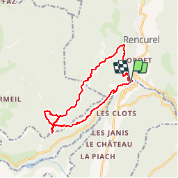
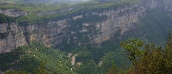
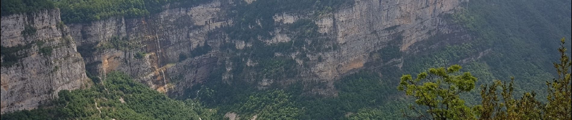
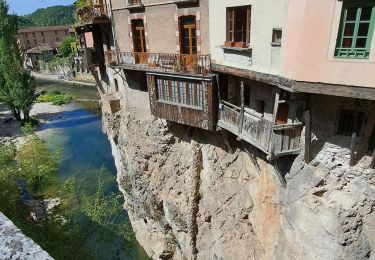
Trail Walking of 15.1 km to be discovered at Auvergne-Rhône-Alpes, Isère, Rencurel. This trail is proposed by patjobou.

Description

Le dénivelé cumulé positif calculé automatiquement est faux.Il est plutôt de 700 m.
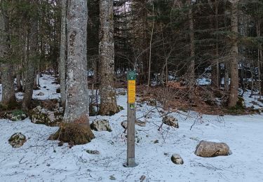
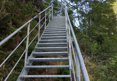
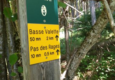
Boucle forestière sans problèmes, sauf les deux variantes signalées, où les chemins ont quasi disparus, et où on suit plutôt les traces de sangliers et le gps. (Mai 2018).
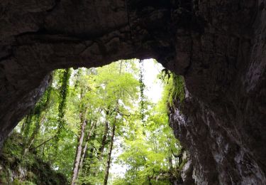
La prochaine fois, ne pas manquer d'aller voir l'arche naturelle de la Balme Riendre (sombardier Vercors secret' P16, accessible facilement.

Elevation profile

Photos

Points of interest

Point of interest Presles - Point 1 - Photo
patjobou
PRESLES 
Point of interest Presles - Point 0 - Photo
patjobou
PRESLES 
Point of interest Presles - Point 2 - Photo
patjobou
PRESLES 
Point of interest Presles - Point 4 - Photo
patjobou
PRESLES 
Point of interest Rencurel - Arche naturelle. - Photo
patjobou

Positioning

Country:
France
Region :
Auvergne-Rhône-Alpes
Department/Province :
Isère
Municipality :
Rencurel
Location:
Unknown
Start:(UTM)
694131 ; 4995666 (31T) N.

Trails nearby

Trail Snowshoes Autrans-Méaudre en Vercors - Le Gros Martel - Méaudre - Photo
Snowshoes
tracegps

Snowshoes

Medium
(4)
Autrans-Méaudre en Vercors, Auvergne-Rhône-Alpes, Isère, France
4.9 km | 8.4 km-effort
2h 10min
Yes
Trail On foot Rencurel - La Balme Noire par la vire de Haute Valette - Photo
On foot
cmarit

On foot

Difficult
(1)
Rencurel, Auvergne-Rhône-Alpes, Isère, France
10.5 km | 21 km-effort
Unknown
Yes
Trail Walking Villard-de-Lans - Gorges de la Bourne - Photo
Walking
flyingdad

Walking

Easy
(5)
Villard-de-Lans, Auvergne-Rhône-Alpes, Isère, France
5.5 km | 8.8 km-effort
2h 13min
Yes
Trail Mountain bike Villard-de-Lans - La Royale (variante) - Photo
Mountain bike
flyingdad

Mountain bike

Medium
(1)
Villard-de-Lans, Auvergne-Rhône-Alpes, Isère, France
28 km | 37 km-effort
4h 0min
Yes
Trail Walking Malleval-en-Vercors - Patente - Photo
Walking
crocau

Walking

Difficult
Malleval-en-Vercors, Auvergne-Rhône-Alpes, Isère, France
9.9 km | 13.4 km-effort
3h 7min
Yes
Trail Bicycle tourism Villard-de-Lans - col d'Herbouilly/route des Goulets/Pont en Royans/gorges de la Bourne - Photo
Bicycle tourism
cmarit

Bicycle tourism

Difficult
Villard-de-Lans, Auvergne-Rhône-Alpes, Isère, France
60 km | 86 km-effort
6h 21min
No
Trail Walking Presles - la Balme Riendre - Photo
Walking
cousam

Walking

Medium
Presles, Auvergne-Rhône-Alpes, Isère, France
7.1 km | 11.4 km-effort
2h 5min
No
Trail Walking Choranche - reco tunnel Arbois  - Photo
Walking
cousam

Walking

Medium
Choranche, Auvergne-Rhône-Alpes, Isère, France
4.4 km | 8.8 km-effort
1h 54min
Yes
Trail Walking Rencurel - 38 vire bourne goule noire  - Photo
Walking
himba26100

Walking

Medium
Rencurel, Auvergne-Rhône-Alpes, Isère, France
11.9 km | 24 km-effort
6h 44min
Yes


Close
My subscriptions