


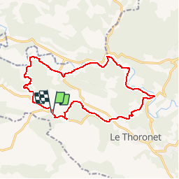

15.3 km | 21 km-effort


User


FREE GPS app for hiking
 SityTrail
IGN / Geographical institutes
SityTrail World
The world is yours!
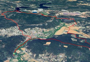
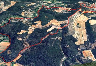
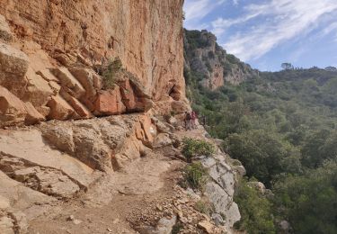
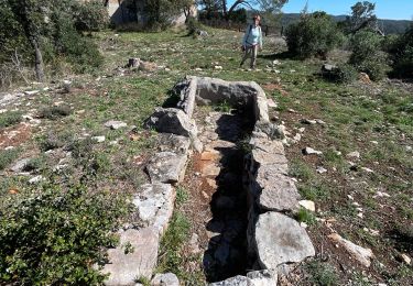
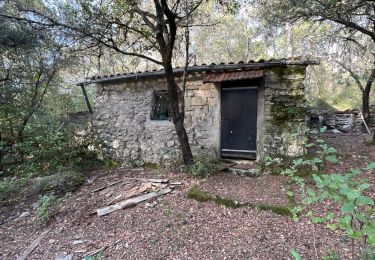
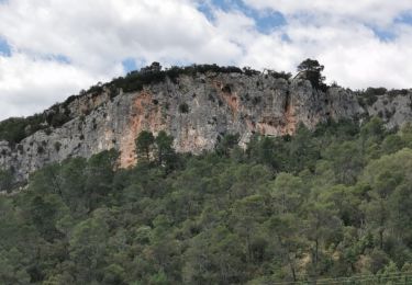
Trail Walking of 17.3 km to be discovered at Provence-Alpes-Côte d'Azur, Var, Le Thoronet. This trail is proposed by Sugg.
Parcours définitif pour la rando du 23 mai 2018.
On foot

Walking

Walking
Walking
Walking

Walking

sport
sport
Walking