


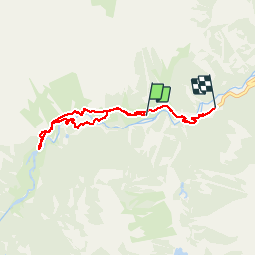

11.4 km | 17.5 km-effort


User


FREE GPS app for hiking
 SityTrail
IGN / Geographical institutes
SityTrail World
The world is yours!
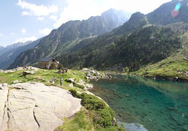
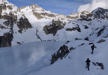
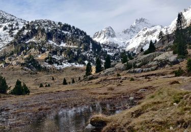
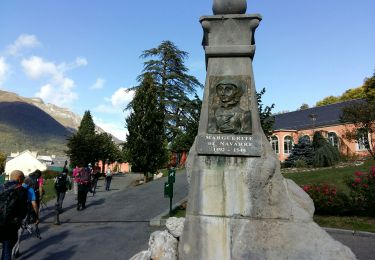
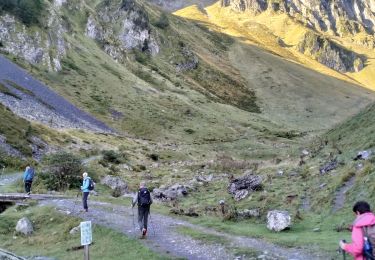
Trail Walking of 6.7 km to be discovered at Occitania, Hautespyrenees, Cauterets. This trail is proposed by pffrench.
Avec Claude. Enregistrement en cours de montée, de telle sorte que le dénivelé vraiment est 296 m, en montée comme en descente.
Walking

Walking

Walking
Walking
Walking
Walking

Walking
Walking
Walking