


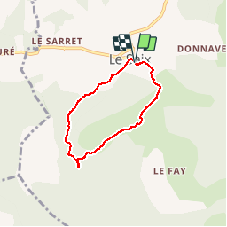

10.9 km | 13.6 km-effort

Les Hautes Alpes à découvrir ! GUIDE+


FREE GPS app for hiking
 SityTrail
IGN / Geographical institutes
SityTrail World
The world is yours!
Trail Walking of 5.5 km to be discovered at Provence-Alpes-Côte d'Azur, Hautes-Alpes, Le Saix. This trail is proposed by Camping Les Rives du Lac.
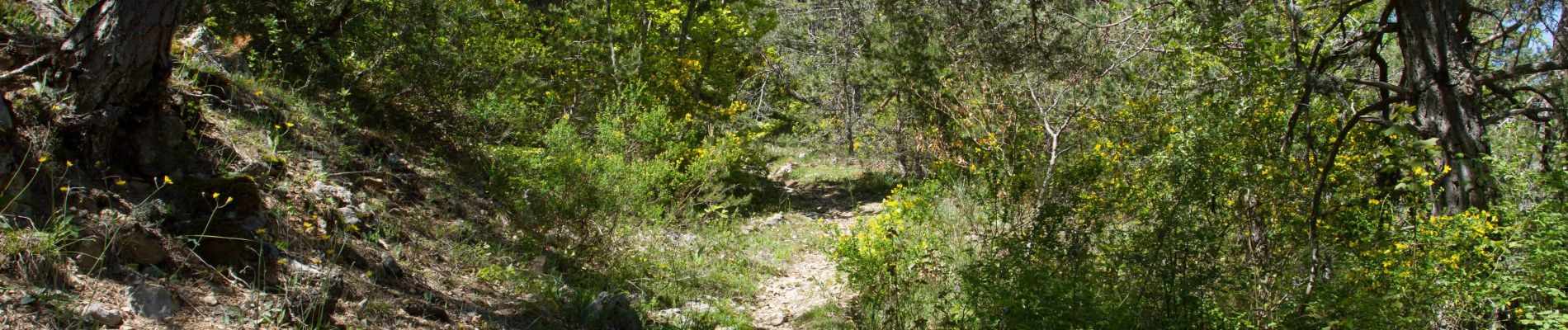
Very nice hike from the village of Saix (810m). The start is at the metal cross at the back of the church. Going down the small road to the left of the church, once down on the small bridge and the log steps. Just follow the yellow markup. The climb alternates forest passages and clearings up to 1167m (superb view). Turn left to take the small path.


Mountain bike

Mountain bike

Mountain bike

Mountain bike

Mountain bike

Walking

Walking

Walking
Walking
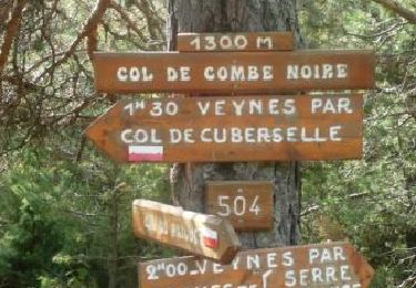
Perdu le sentier suite à un éboulement au début, après impeccable