


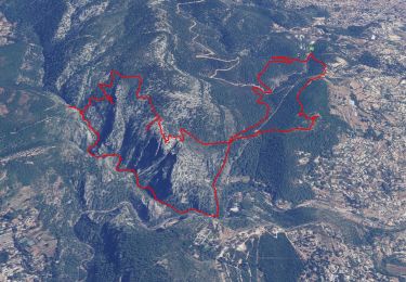
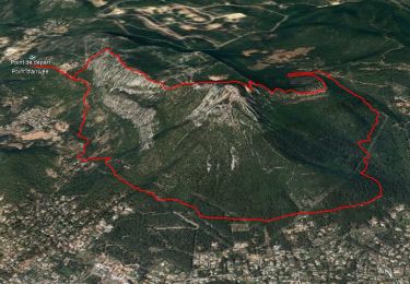
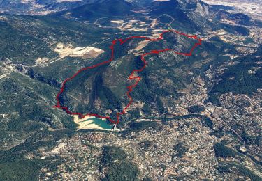
11.8 km | 19.3 km-effort


User


FREE GPS app for hiking
 SityTrail
IGN / Geographical institutes
SityTrail World
The world is yours!
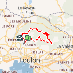
Trail Walking of 13.8 km to be discovered at Provence-Alpes-Côte d'Azur, Var, Toulon. This trail is proposed by DanielROLLET.
2018 06 15
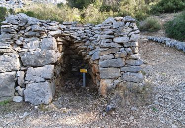
Reco avec Marie
Marche 11:30 à 17:00 soit 5:30
aller station téléphérique bus 40
retour station "balcons" bus 40
Walking
Walking
Walking

Walking
Walking

Walking
Walking

Walking
Walking