


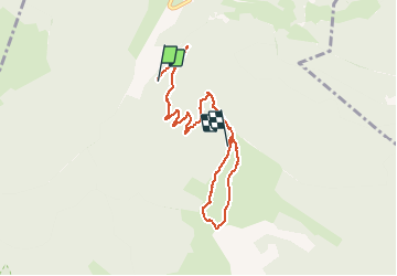

12.7 km | 27 km-effort


User


FREE GPS app for hiking
 SityTrail
IGN / Geographical institutes
SityTrail World
The world is yours!
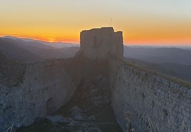
Trail Walking of 7.4 km to be discovered at Occitania, Ariège, Montségur. This trail is proposed by jopost.
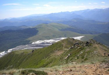
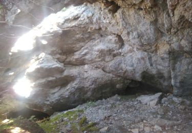
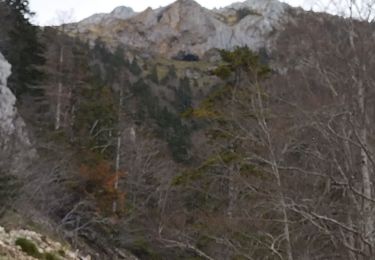
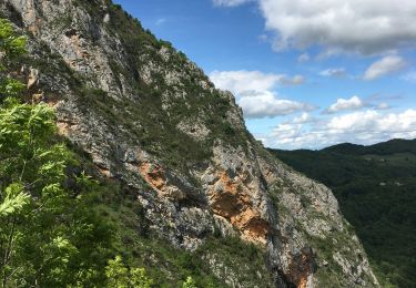
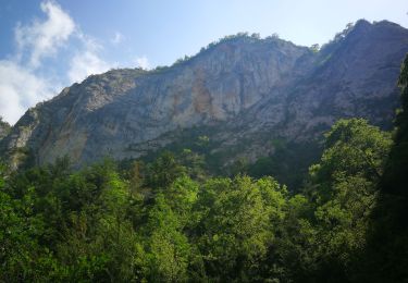
départ depuis la barrière de la piste forestière jusqu'au sommet du Mont La Frau d'abord puis descente vers la grotte de La Cahuna arrivée à la grotte 7,4kmdonc pour revenir à la barrière, comptez 4,5km de plus soit au total 12km.
Walking

Walking

Walking
Walking
Walking
Other activity
Walking
Walking