


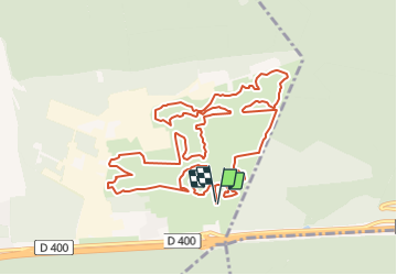


18,7 km | 24 km-effort


Utilisateur


Application GPS de randonnée GRATUITE
 SityTrail
IGN / Instituts géographiques
SityTrail World
Le monde est à vous
Randonnée Marche de 12,8 km à découvrir à Grand Est, Meurthe-et-Moselle, Bois-de-Haye. Cette randonnée est proposée par DanielROLLET.
2018.10.03
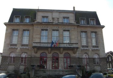
Reco ASPV 7 personnes
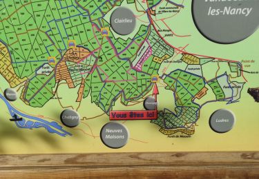
Départ/retour parking accueil
A pied

A pied

Marche
A pied
A pied
Marche
Marche
Marche
Marche