


4,6 km | 5,4 km-effort

Utilisateur


Application GPS de randonnée GRATUITE
 SityTrail
IGN / Instituts géographiques
SityTrail World
Le monde est à vous
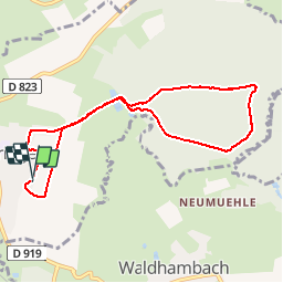
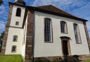
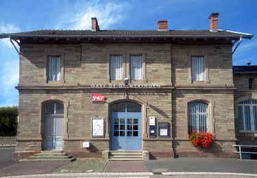
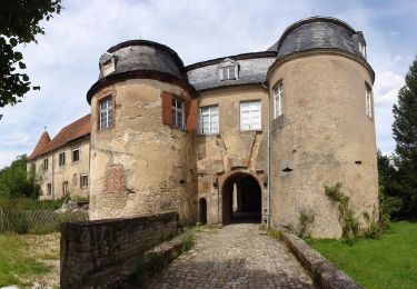
Randonnée Marche de 7,9 km à découvrir à Grand Est, Bas-Rhin, Diemeringen. Cette randonnée est proposée par helmut68.
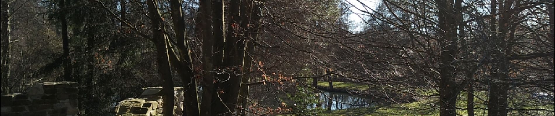
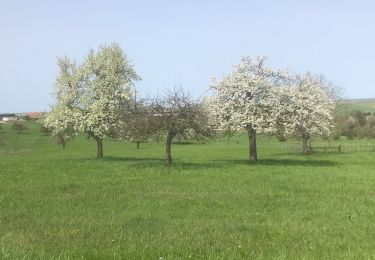
Départ Haut de Diemeringen,passer devant l'étang puis prendre à droite le chemin du petit Grünewald jusqu'au chalet . Puis retour par la route forestière du grand Grünewald .
Pratiquable toute l'année . A vos chaussures...

A pied
A pied
A pied
A pied
A pied
A pied

sport

A pied
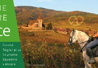
Randonnée équestre