


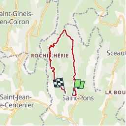

7,1 km | 9,5 km-effort


Utilisateur


Application GPS de randonnée GRATUITE
 SityTrail
IGN / Instituts géographiques
SityTrail World
Le monde est à vous
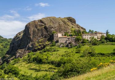
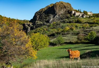
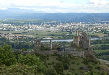
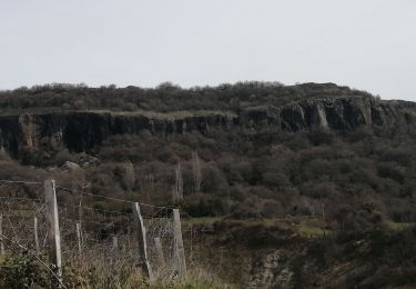
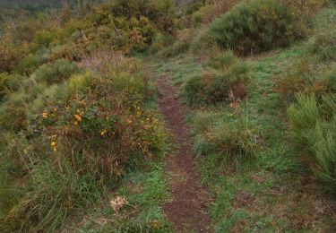
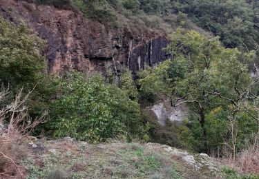
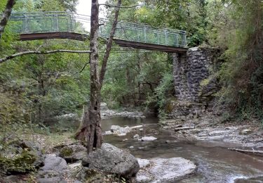
Randonnée Marche de 10 km à découvrir à Auvergne-Rhône-Alpes, Ardèche, Saint-Pons. Cette randonnée est proposée par himba26100.
27 02 19 gd beau antoine gene jp renee joelle jackie
Marche
Marche
Marche

V.T.T.
V.T.T.
Marche
Marche
Marche
Marche