


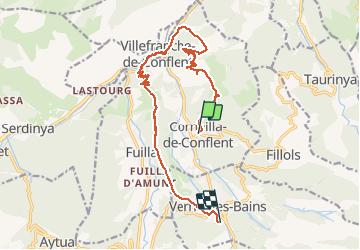


5,3 km | 8,7 km-effort

Utilisateur


Application GPS de randonnée GRATUITE
 SityTrail
IGN / Instituts géographiques
SityTrail World
Le monde est à vous
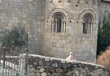
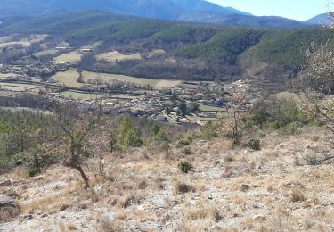
Randonnée Marche de 19,3 km à découvrir à Occitanie, Pyrénées-Orientales, Corneilla-de-Conflent. Cette randonnée est proposée par Fanfanrevest.


Marche

Marche

Moteur

Marche

Marche
Marche
Marche
Marche
Marche
tres pratique.