Randonnée Marche Niederbronn-les-Bains - niederbronn-oberbronn les chateaux - Photo

niederbronn-oberbronn les chateaux

 mitch1915
mitch1915

Utilisateur

© OpenStreetMap contributors
Longueur
Longueur
21 km
Altitude max
Altitude max
534 m
Dénivelé positif
Dénivelé positif
716 m
Km-Effort
Km-Effort  
31 km
Altitude min
Altitude min
188 m
Dénivelé négatif
Dénivelé négatif
717 m
Boucle
Boucle
Oui
Date de création :
2016-09-08 00:00:00.0
Dernière modification :
2016-09-08 00:00:00.0

(1 Avis)

Marche
Marche
7h46
Difficulté : Moyen

Scannez ce code QR pour ouvrir la randonnée dans l'application SityTrail

Application GPS de randonnée GRATUITE

Logo SityTrail SityTrail

IGN / Instituts géographiques

Télécharger SityTrail sur l'App Store Télécharger SityTrail sur Google Play

Logo SityTrail SityTrail World

Le monde est à vous

Télécharger SityTrail sur l'App Store Télécharger SityTrail sur Google Play Télécharger SityTrail sur Huawei AppGallery

À propos

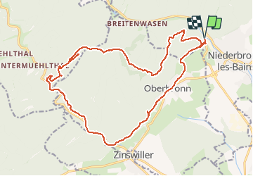
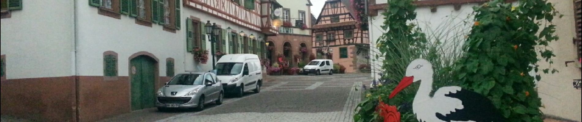
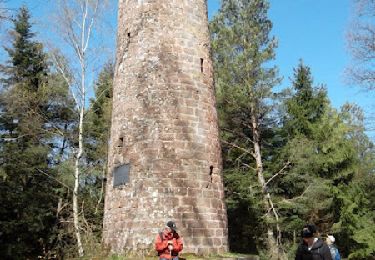
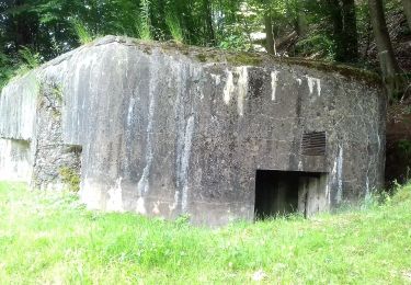
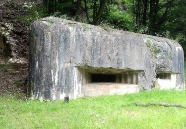
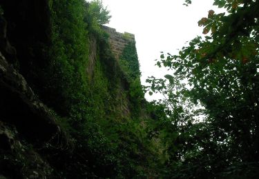
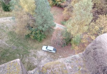
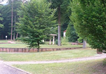
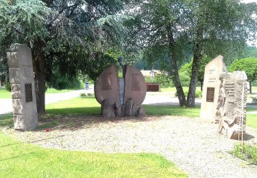
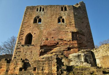
Randonnée Marche de 21 km à découvrir à Grand Est, Bas-Rhin, Niederbronn-les-Bains. Cette randonnée est proposée par mitch1915.

Profil altimétrique

Photos

Localisation

Pays :
France
Région :
Grand Est
Département/Province :
Bas-Rhin
Commune :
Niederbronn-les-Bains
Localité :
Unknown
Départ:(Dec)
Départ:(UTM)
399460 ; 5423688 (32U) N.

Commentaires

Veuillez vous connecter pour laisser un commentaire ou une note


super, très complet


Randonnées à proximité

Randonnée Marche Oberbronn - En forêt de Niederbronn de Oberbronn au château de Wasenbourg - Photo
Marche
tracegps

Marche

Moyen
(1)
Oberbronn, Grand Est, Bas-Rhin, France
9,5 km | 14,4 km-effort
2h 30min
Oui
Randonnée A pied Niederbronn-les-Bains - Disque rouge - Photo
A pied
PRO

A pied

Facile
Niederbronn-les-Bains, Grand Est, Bas-Rhin, France
5 km | 6,4 km-effort
1h 27min
Non
Randonnée A pied Philippsbourg - Chevalet jaune - Photo
A pied
PRO

A pied

Facile
Philippsbourg, Grand Est, Moselle, France
7,5 km | 11 km-effort
2h 29min
Non
Randonnée A pied Philippsbourg - Disque rouge - Photo
A pied
PRO

A pied

Facile
Philippsbourg, Grand Est, Moselle, France
6 km | 9,3 km-effort
2h 7min
Non
Randonnée A pied Philippsbourg - Triangle rouge - Photo
A pied
PRO

A pied

Facile
Philippsbourg, Grand Est, Moselle, France
5,1 km | 7,3 km-effort
1h 39min
Non
Randonnée A pied Philippsbourg - Sentier Goldenberg - Photo
A pied
PRO

A pied

Facile
Philippsbourg, Grand Est, Moselle, France
5,3 km | 7,1 km-effort
1h 36min
Non
Randonnée A pied Philippsbourg - Croix jaune - Photo
A pied
PRO

A pied

Facile
Philippsbourg, Grand Est, Moselle, France
12,6 km | 19,4 km-effort
4h 24min
Non
Randonnée A pied Baerenthal - Rectangle jaune-blanc-jaune - Photo
A pied
PRO

A pied

Facile
Baerenthal, Grand Est, Moselle, France
3,7 km | 4,5 km-effort
1h 0min
Non
Randonnée A pied Niederbronn-les-Bains - Green triangle - Photo
A pied
PRO

A pied

Difficile
Niederbronn-les-Bains, Grand Est, Bas-Rhin, France
21 km | 32 km-effort
7h 20min
Non


Fermer
Mes abonnements