Randonnée Marche Lauzerte - LSG Lauzerte Rouillac - Photo
 lsg1956
lsg1956

Utilisateur

© OpenStreetMap contributors
Longueur
Longueur
24 km
Altitude max
Altitude max
247 m
Dénivelé positif
Dénivelé positif
640 m
Km-Effort
Km-Effort  
33 km
Altitude min
Altitude min
127 m
Dénivelé négatif
Dénivelé négatif
598 m
Boucle
Boucle
Non
Date de création :
2017-08-02 00:00:00.0
Dernière modification :
2020-01-04 11:15:39.352

(0 Avis)

Marche
Marche
6h11
Difficulté : Facile

Scannez ce code QR pour ouvrir la randonnée dans l'application SityTrail

Application GPS de randonnée GRATUITE

Logo SityTrail SityTrail

IGN / Instituts géographiques

Télécharger SityTrail sur l'App Store Télécharger SityTrail sur Google Play

Logo SityTrail SityTrail World

Le monde est à vous

Télécharger SityTrail sur l'App Store Télécharger SityTrail sur Google Play Télécharger SityTrail sur Huawei AppGallery

À propos

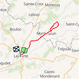
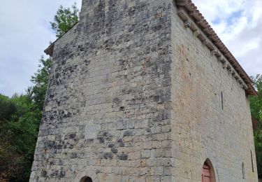
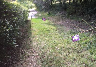
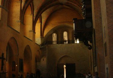
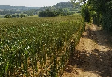
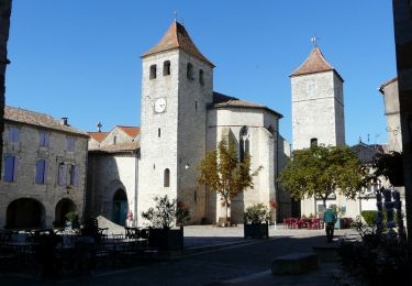
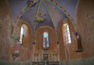
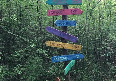
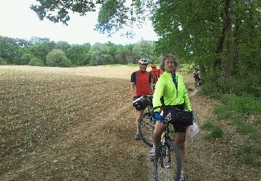
Randonnée Marche de 24 km à découvrir à Occitanie, Tarn-et-Garonne, Lauzerte. Cette randonnée est proposée par lsg1956.

Profil altimétrique

Photos

Localisation

Pays :
France
Région :
Occitanie
Département/Province :
Tarn-et-Garonne
Commune :
Lauzerte
Localité :
Unknown
Départ:(Dec)
Départ:(UTM)
351286 ; 4901865 (31T) N.

Randonnées à proximité

Randonnée Marche Lauzerte - lauzerte moissac - Photo
Marche
fab0202

Marche

Moyen
Lauzerte, Occitanie, Tarn-et-Garonne, France
29 km | 38 km-effort
7h 39min
Non
Randonnée Marche Lauzerte - Laurzerte ses alentours  - Photo
Marche
Curbelie

Marche

Moyen
Lauzerte, Occitanie, Tarn-et-Garonne, France
17,6 km | 23 km-effort
5h 7min
Oui
Randonnée Marche Lauzerte - Tronçon St Jacques Lauzerte Moissac  - Photo
Marche
choubaka77

Marche

Très difficile
Lauzerte, Occitanie, Tarn-et-Garonne, France
29 km | 39 km-effort
7h 31min
Non
Randonnée Marche Lauzerte - CC_Velay_EA_17_Lauzerte_Moissac_20080817 - Photo
Marche
patrickdanilo

Marche

Moyen
Lauzerte, Occitanie, Tarn-et-Garonne, France
26 km | 33 km-effort
7h 6min
Non
Randonnée Marche Lauzerte - Lauzerte Rouille Lauzerte  - Photo
Marche
jgu5108

Marche

Moyen
Lauzerte, Occitanie, Tarn-et-Garonne, France
23 km | 32 km-effort
6h 4min
Oui
Randonnée Marche Lauzerte - La chapelle de Saint Sernin du Bosc - Lauzerte - Photo
Marche
tracegps

Marche

Moyen
Lauzerte, Occitanie, Tarn-et-Garonne, France
10,7 km | 15,2 km-effort
3h 0min
Oui
Randonnée Marche Montlauzun - Montlauzun - St Martin - Chemin de Compostelle - Photo
Marche
tracegps

Marche

Très difficile
Montlauzun, Occitanie, Lot, France
23 km | 31 km-effort
9h 49min
Non
Randonnée Marche Lauzerte - lauzerte-moissac 9.7.2017 - Photo
Marche
mota.filipe

Marche

Très facile
Lauzerte, Occitanie, Tarn-et-Garonne, France
26 km | 34 km-effort
7h 59min
Non
Randonnée Vélo Lauzerte - 2012-05-15 etape 6 - Photo
Vélo
FERAUD

Vélo

Facile
Lauzerte, Occitanie, Tarn-et-Garonne, France
82 km | 96 km-effort
5h 57min
Non


Fermer
Mes abonnements