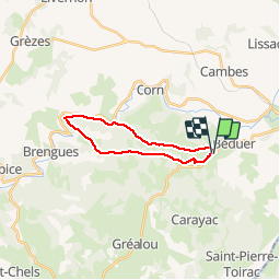

11,7 km | 16,3 km-effort

Utilisateur


Application GPS de randonnée GRATUITE
 SityTrail
IGN / Instituts géographiques
SityTrail World
Le monde est à vous
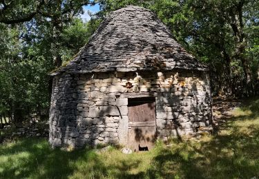
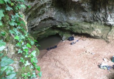
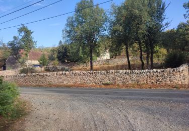
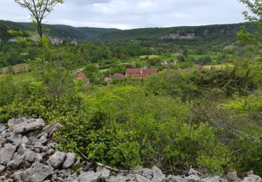
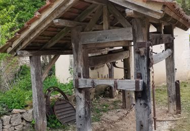
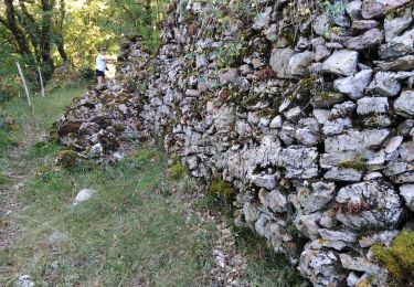
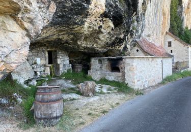
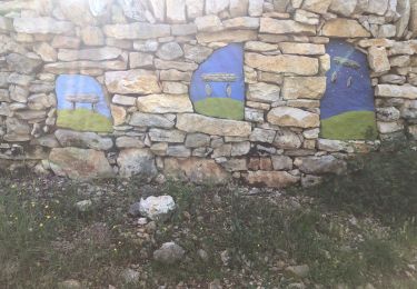
Randonnée Marche de 17,8 km à découvrir à Occitanie, Lot, Béduer. Cette randonnée est proposée par yves12.


Marche
Marche
Marche
Marche

Cheval

sport
Marche