


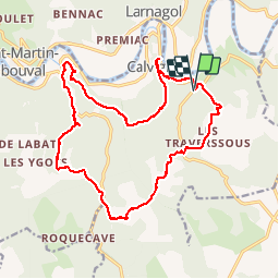


19,4 km | 28 km-effort

Utilisateur


Application GPS de randonnée GRATUITE
 SityTrail
IGN / Instituts géographiques
SityTrail World
Le monde est à vous
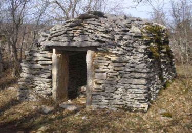
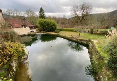
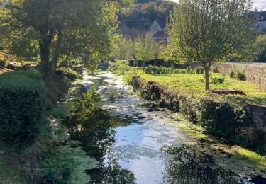
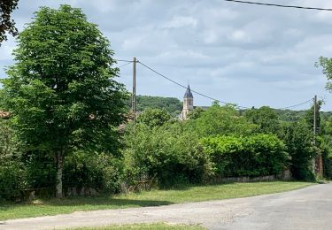
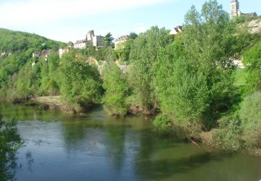
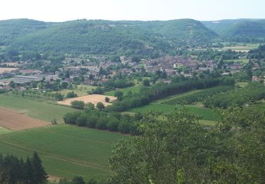
Randonnée Marche de 19,4 km à découvrir à Occitanie, Lot, Calvignac. Cette randonnée est proposée par yves12.
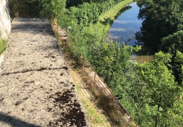
entre causse et bord de lot


Marche

Marche
Marche
Marche
Marche
Marche
Marche