


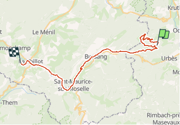


15 km | 24 km-effort


Utilisateur


Application GPS de randonnée GRATUITE
 SityTrail
IGN / Instituts géographiques
SityTrail World
Le monde est à vous
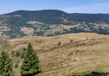
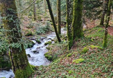
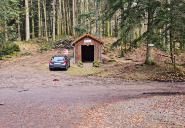
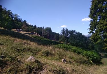
Randonnée Autre activité de 27 km à découvrir à Grand Est, Haut-Rhin, Fellering. Cette randonnée est proposée par margotte.
voiture et à pied

Marche

Marche

Marche
Marche
Marche

Marche
Marche
Marche
Marche