


10,7 km | 13,9 km-effort

Utilisateur


Application GPS de randonnée GRATUITE
 SityTrail
IGN / Instituts géographiques
SityTrail World
Le monde est à vous
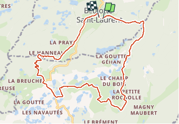
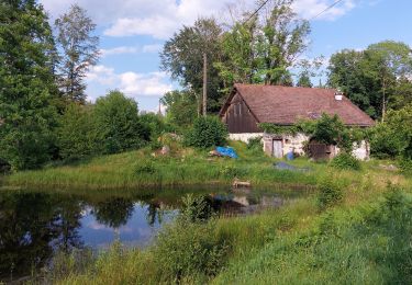
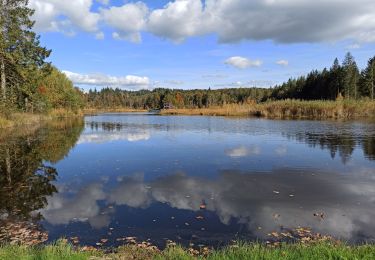
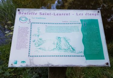
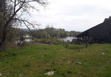
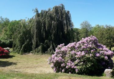
Randonnée Marche de 11,3 km à découvrir à Bourgogne-Franche-Comté, Haute-Saône, Beulotte-Saint-Laurent. Cette randonnée est proposée par DanielROLLET.


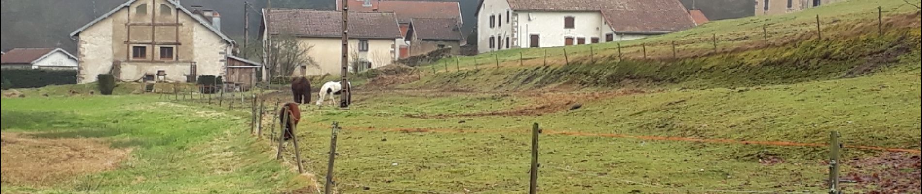
Marche

Marche
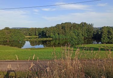
Marche
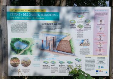
Marche
Marche
Marche
Marche
Marche
V.T.C.