


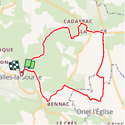

15,8 km | 23 km-effort

Utilisateur


Application GPS de randonnée GRATUITE
 SityTrail
IGN / Instituts géographiques
SityTrail World
Le monde est à vous
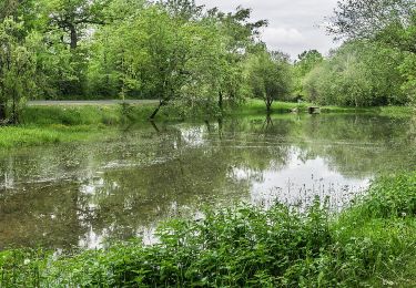
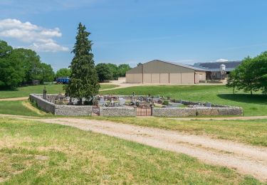
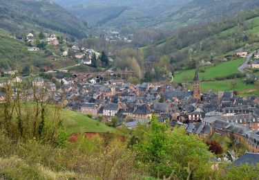
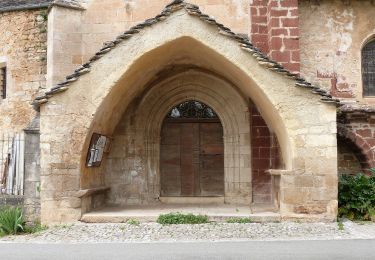
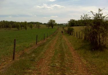
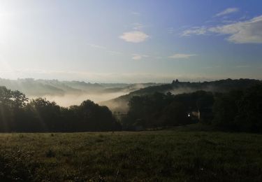
Randonnée Marche de 20 km à découvrir à Occitanie, Aveyron, Salles-la-Source. Cette randonnée est proposée par yves12.


Marche
A pied
A pied
A pied
A pied
A pied
A pied
Marche
V.T.T.