


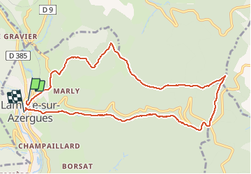


11,7 km | 16,7 km-effort

Utilisateur


Application GPS de randonnée GRATUITE
 SityTrail
IGN / Instituts géographiques
SityTrail World
Le monde est à vous
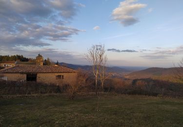
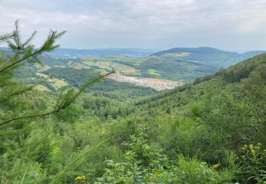
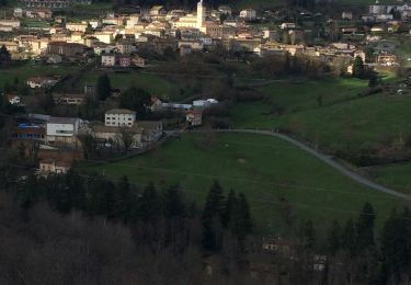
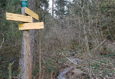
Randonnée Marche de 10,8 km à découvrir à Auvergne-Rhône-Alpes, Rhône, Lamure-sur-Azergues. Cette randonnée est proposée par Arthurjcm.


Marche
Marche
Marche
Marche
Marche
Marche
Marche
Marche
Marche
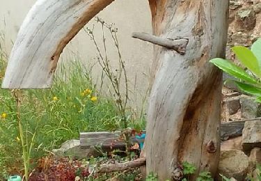
Belle rando.