


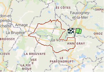


18,7 km | 23 km-effort

Utilisateur


Application GPS de randonnée GRATUITE
 SityTrail
IGN / Instituts géographiques
SityTrail World
Le monde est à vous
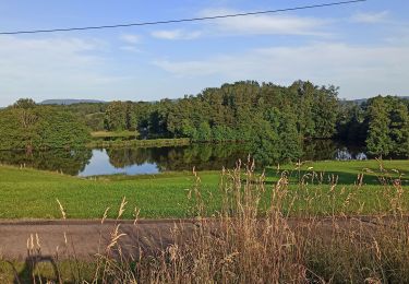
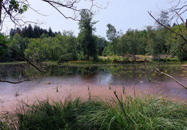
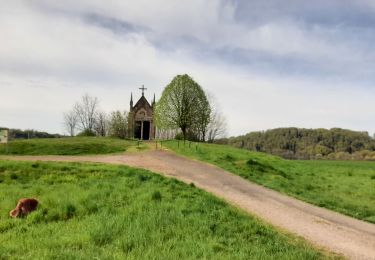
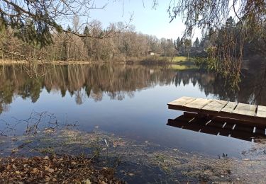
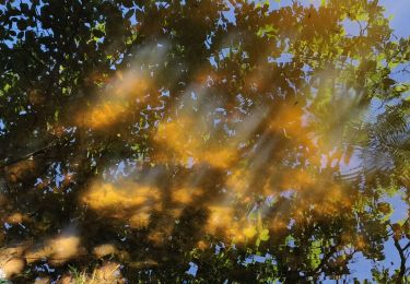
Randonnée Marche de 15,2 km à découvrir à Bourgogne-Franche-Comté, Haute-Saône, La Voivre. Cette randonnée est proposée par margotte.


Marche
Marche
Marche
Marche
Marche
Marche
Marche nordique
Marche
Marche