


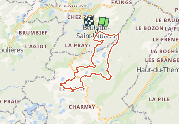

10,7 km | 13,9 km-effort


Utilisateur


Application GPS de randonnée GRATUITE
 SityTrail
IGN / Instituts géographiques
SityTrail World
Le monde est à vous
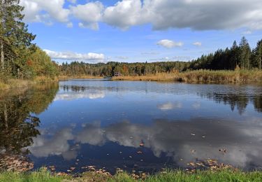
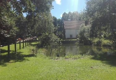
Randonnée Marche de 13,7 km à découvrir à Bourgogne-Franche-Comté, Haute-Saône, Beulotte-Saint-Laurent. Cette randonnée est proposée par DanielROLLET.
2018 05 26 13:45 à 17h30
Rando ASPV 22 participants

Marche
Marche
Marche
Marche
Marche
Marche
Marche
V.T.C.
Marche
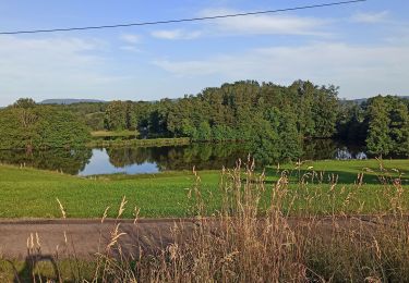
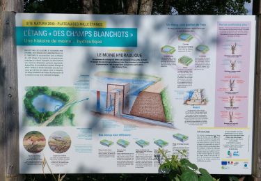
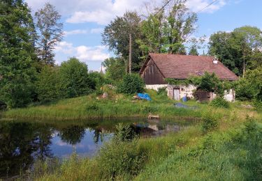
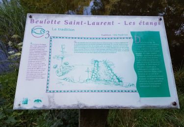
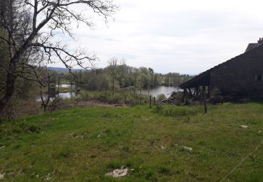
Balade sympa, de jolies étangs. Des passages de routes assez nombreux mais peu de circulation. Forêt coupé à blanc lié au scolyte dénature le paysage à certains endroits fait le 23 février avec 16 degrés