


7,9 km | 11,2 km-effort


Gebruiker


Gratisgps-wandelapplicatie
 SityTrail
IGN / Geografische instituten
SityTrail World
De wereld gaat voor u open
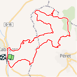
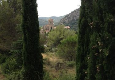
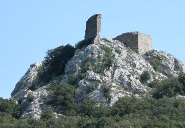
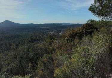
Tocht Stappen van 14,7 km beschikbaar op Occitanië, Hérault, Cabrières. Deze tocht wordt voorgesteld door daniel34.

Noords wandelen
Stappen
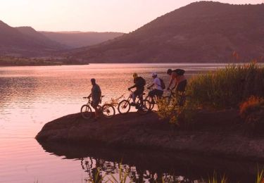
Mountainbike

Te voet
Te voet

Stappen
Stappen
Stappen
Noords wandelen
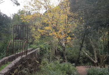
très belle rando mais attention ⚠️ au milieu du parcours clôture. prendre sur la droite le chemin qui longe la clôture et remonter le chemin chaotique