


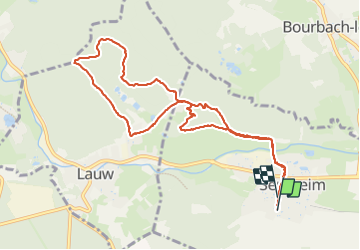

19,9 km | 34 km-effort

Gebruiker


Gratisgps-wandelapplicatie
 SityTrail
IGN / Geografische instituten
SityTrail World
De wereld gaat voor u open
Tocht Stappen van 10,1 km beschikbaar op Grand Est, Haut-Rhin, Sentheim. Deze tocht wordt voorgesteld door helmut68.
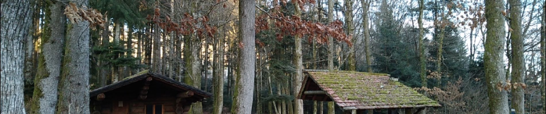
Départ place de l'église , traverser la Doller puis suivre le tracé triangle bleu jusqu'au chalet. Retour par Lauw en suivant à la fin le tracé du sentier géologique. Très belle randonnée en pleine nature...


Stappen

Stappen

Stappen

Te voet

Te voet

Stappen


Mountainbike
