


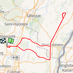


17,1 km | 25 km-effort


Gebruiker


Gratisgps-wandelapplicatie
 SityTrail
IGN / Geografische instituten
SityTrail World
De wereld gaat voor u open
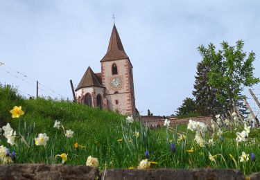
Tocht Fiets van 71 km beschikbaar op Grand Est, Haut-Rhin, Beblenheim. Deze tocht wordt voorgesteld door Schnacka.
Beau circuit cyclable qui rejoint le canal du Rhone au Rhin et son chemin de halage aménagé.
Petite halte repas possible la Coccinelle à Artzenheim au bord du canal, et halte aux Jardins de Gaïa à Wittisheim pour une dégustation de thés.

Stappen

Mountainbike

Stappen
Stappen
Paardrijden

Stappen
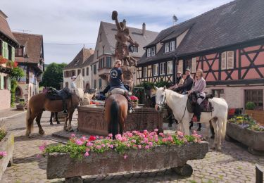
Paardrijden

Stappen
Stappen