


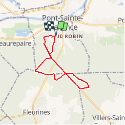


8,4 km | 10,2 km-effort

Gebruiker


Gratisgps-wandelapplicatie
 SityTrail
IGN / Geografische instituten
SityTrail World
De wereld gaat voor u open
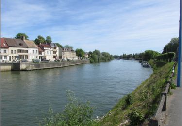
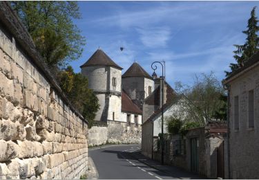
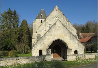
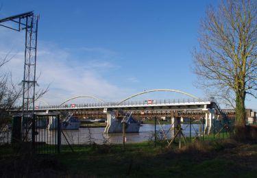
Tocht Fiets van 10,4 km beschikbaar op Hauts-de-France, Oise, Pont-Sainte-Maxence. Deze tocht wordt voorgesteld door gilbertdu60.
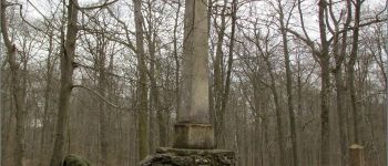
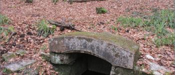
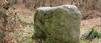
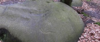
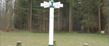
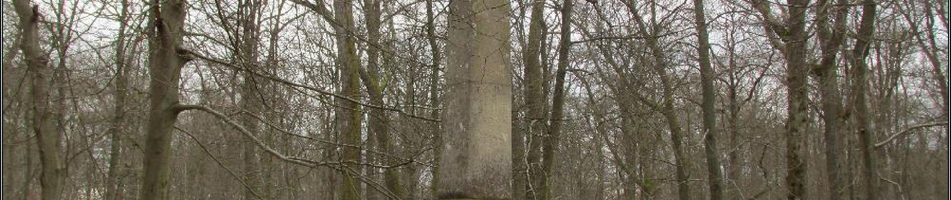
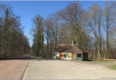
départ piscine des terriers, ( traversée de la RD1017) vers l'obélisque du roi de Rome et la fontaine des Lys, passage par le poteau du grand maitre, vers le chemin du cheval blanc arrêt au dolme de Chancy, vers le rocher au sanglier


Stappen

Stappen
Stappen
Hybride fiets
Fietstoerisme
Te voet
Elektrische fiets
Elektrische fiets
Elektrische fiets