


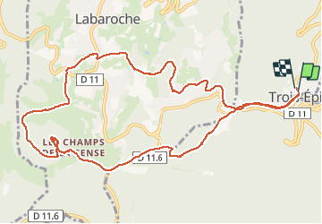

17,1 km | 25 km-effort

Gebruiker


Gratisgps-wandelapplicatie
 SityTrail
IGN / Geografische instituten
SityTrail World
De wereld gaat voor u open
Tocht Stappen van 12,3 km beschikbaar op Grand Est, Haut-Rhin, Ammerschwihr. Deze tocht wordt voorgesteld door VacheKiri67.
Faite le 22/04/2018 avec notre fils Théo de 13 ans et nos amis Monique et Patrice. D'après "Passion Vosges - A la découverte des châteaux forts d'Alsace" N°22 : Le Petit Hohnack a tout d’un grand. Durée indiquée pour le circuit : 4h.


Stappen

Stappen

Mountainbike

Stappen
Stappen
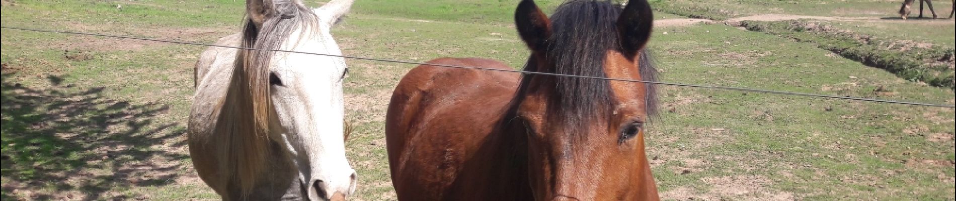
Paardrijden

Mountainbike
Stappen

Stappen