


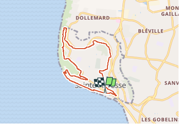


14,2 km | 17 km-effort


Gebruiker


Gratisgps-wandelapplicatie
 SityTrail
IGN / Geografische instituten
SityTrail World
De wereld gaat voor u open
Tocht Stappen van 7,7 km beschikbaar op Normandië, Seine-Maritime, Sainte-Adresse. Deze tocht wordt voorgesteld door MarcherEnsemble.
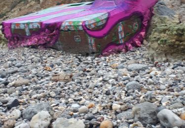
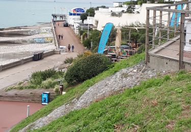
Départ du parking des régates

Stappen
Te voet
Te voet

Stappen

Stappen
Stappen
Noords wandelen
Stappen

Stappen