Tocht Sneeuwschoenen Font-Romeu-Odeillo-Via - llobens 2021  - Photo
 jpipacific
jpipacific

Gebruiker

© OpenStreetMap contributors
Lengte
Lengte
7,2 km
Max. hoogte
Max. hoogte
1979 m
Positief hoogteverschil
238 m
Km-Effort
Km-Effort  
10,4 km
Min. hoogte
Min. hoogte
1757 m
Negatief hoogteverschil
238 m
Boucle
Boucle
Ja
Datum van aanmaak :
2021-01-31 10:17:27.834
Laatste wijziging :
2021-02-01 08:52:06.24

(0 Bericht)

Sneeuwschoenen
Sneeuwschoenen
3h01
Moeilijkheid : Medium

Scan deze QR-code om de tocht te openen in de SityTrail-applicatie

Gratisgps-wandelapplicatie

Logo SityTrail SityTrail

IGN / Geografische instituten

SityTrail uit de App Store downloaden SityTrail uit Google Play downloaden

Logo SityTrail SityTrail Plus

De wereld gaat voor u open

SityTrail uit de App Store downloaden SityTrail uit Google Play downloaden SityTrail op Huawei AppGallery downloaden

Over ons

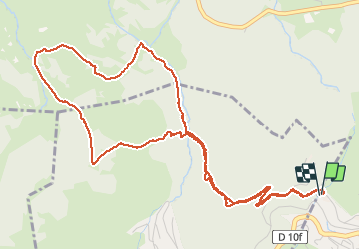
Tocht Sneeuwschoenen van 7,2 km beschikbaar op Occitanië, Pyrénées-Orientales, Font-Romeu-Odeillo-Via. Deze tocht wordt voorgesteld door jpipacific.

Beschrijving

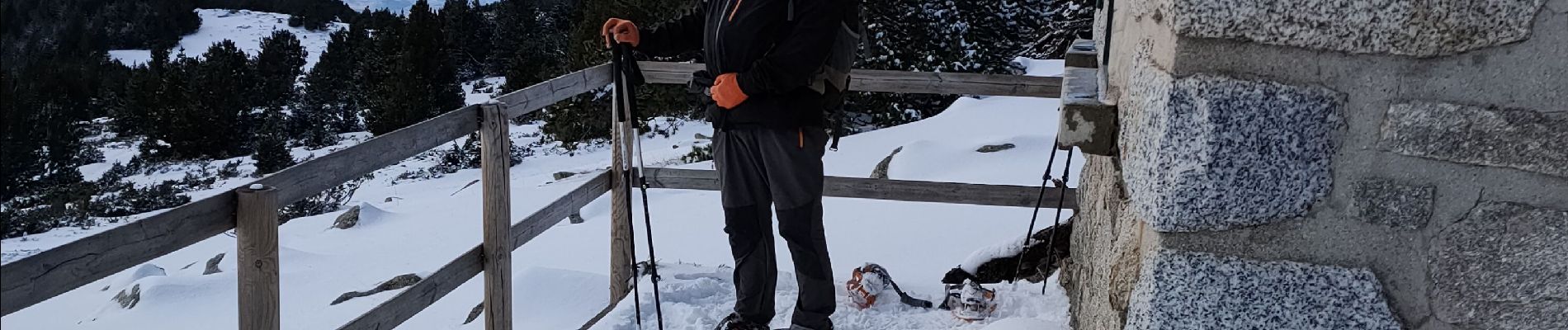
Rando faite le 31/01/2021.
Neige fraiche, temps couvert et rafales de vent.
Très jolie ballade a effectuer dans ce sens pour éviter la rude montée au refuge.  
De jolis points de vue....

Hoogteprofiel

Foto's

Plaatsbepaling

Land:
France
Regio :
Occitanië
Departement/Provincie :
Pyrénées-Orientales
Gemeente :
Font-Romeu-Odeillo-Via
Locatie:
Unknown
Vertrek:(UTM)
420440 ; 4706635 (31T) N.


Sluiten
Mijn abonnementen