


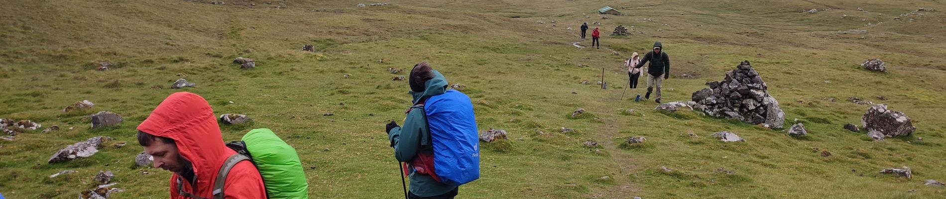
Nólsoy Kallur Lighthouse

Geert H.
Gebruiker


3h33
Moeilijkheid : Moeilijk

Gratisgps-wandelapplicatie
 SityTrail
IGN / Geografische instituten
SityTrail Plus
De wereld gaat voor u open
Over ons
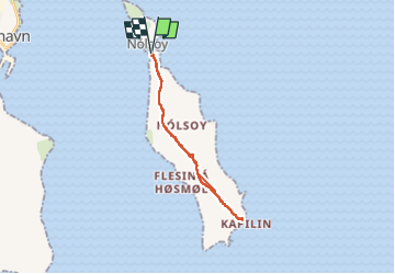
Tocht Stappen van 14,8 km beschikbaar op Streymoyar sýsla, Onbekend, Nólsoy. Deze tocht wordt voorgesteld door Geert H..
Beschrijving
The small white and red painted lighthouse is nestled on the northernmost tip on the island. Everyone wanting to visit the scenery will go for a hike. Kallur Lighthouse was built in 1927 and is now steadily growing in popularity.
Foto's


Plaatsbepaling
Opmerkingen