


20 km | 26 km-effort


User


FREE GPS app for hiking
 SityTrail
IGN / Geographical institutes
SityTrail World
The world is yours!
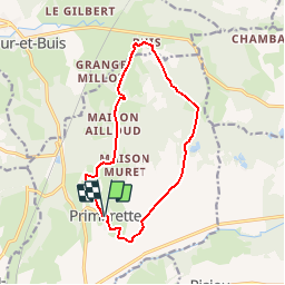
Trail Walking of 12.8 km to be discovered at Auvergne-Rhône-Alpes, Isère, Primarette. This trail is proposed by jacky.26sp.
Walking
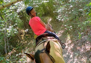
Horseback riding

On foot

Mountain bike

Walking


sport
Walking
Walking
Mountain bike
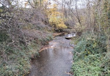
Belle balade, merci pour le tracé. Une remarque : le sentier forestier, juste avant d'arriver à la chapelle de Buis, n'est plus praticable. Nous avons contourné par le nord-est sur un chemin agricole.