


13,3 km | 15,6 km-effort
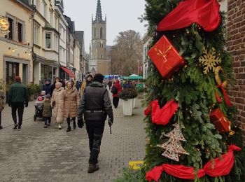
Baelen : Entdecken Sie die besten Touren : 20 zu fuß, 198 wandern, 8 nordic walking, 6 laufen und 2 pfad. Alle diese Touren, Trails, Routen und Outdoor-Aktivitäten sind in unseren SityTrail-Apps für Smartphones und Tablets verfügbar.
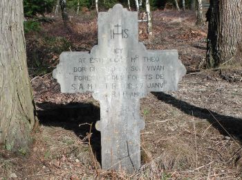
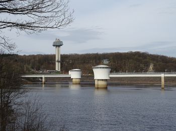
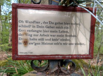
Wandern


Wandern
Wandern
Wandern
Wandern
Wandern
Wandern
Wandern
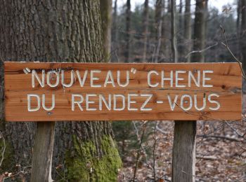
Wandern
Zu Fuß
• Trail created by DNF.
Zu Fuß
• Trail created by DNF. Symbol: Losange rouge - red diamond
Zu Fuß
• Trail created by DNF. Symbol: Rectangle rouge - red rectangle
Zu Fuß
• Trail created by DNF. Symbol: gelbe Raute - yellow diamond
Zu Fuß
• Trail created by DNF. Symbol: grünes Kreuz green Cross

Zu Fuß
• Symbol: green rectangle
Wandern
Wandern

Wandern
Wandern
Wandern
20 Angezeigte Touren bei 234
Kostenlosegpshiking-Anwendung
 SityTrail
IGN / Geografische Institute
SityTrail World
Die Welt öffnet sich für Sie