


7,2 km | 8,4 km-effort
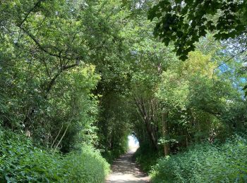
Overijse : Entdecken Sie die besten Touren : 8 zu fuß, 42 wandern, 3 nordic walking und 7 laufen. Alle diese Touren, Trails, Routen und Outdoor-Aktivitäten sind in unseren SityTrail-Apps für Smartphones und Tablets verfügbar.
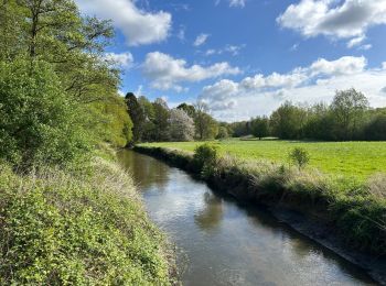
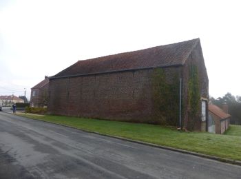
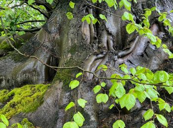
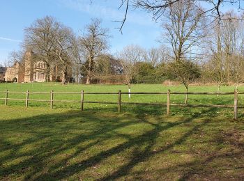
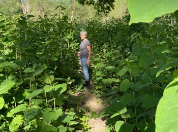
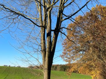
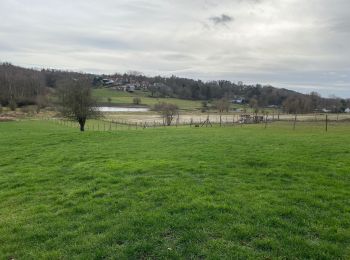
Wandern


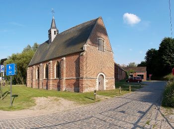
Zu Fuß
• Trail created by vzw Toerisme Vlaams-Brabant.. Symbol: Zeskantige plaatjes met rode tekst
Zu Fuß
• Trail created by vzw Toerisme Vlaams-Brabant.. Symbol: Zeskantige plaatjes met rode tekst

Wandern
• More information on : http://www.wandelroutes.org
Wandern
Wandern
Wandern
Wandern
Wandern
• 14 km of easy road. Nice walk, beautiful views.
Wandern
Wandern

Zu Fuß
• Trail created by Regionaal Landschap Dijleland vzw.
Zu Fuß
Zu Fuß
Wandern
Zu Fuß
Wandern
Wandern
Wandern
Wandern
20 Angezeigte Touren bei 59
Kostenlosegpshiking-Anwendung
 SityTrail
IGN / Geografische Institute
SityTrail World
Die Welt öffnet sich für Sie