


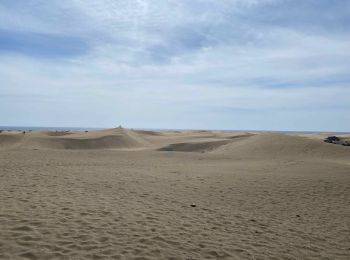
6,2 km | 10 km-effort
Las Palmas : Entdecken Sie die besten Touren : 19 zu fuß, 146 wandern, 1 nordic walking, 3 laufen und 6 pfad. Alle diese Touren, Trails, Routen und Outdoor-Aktivitäten sind in unseren SityTrail-Apps für Smartphones und Tablets verfügbar.
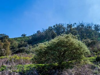
Wandern


Wandern
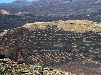
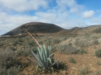
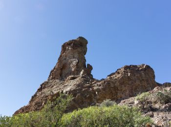
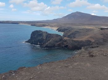
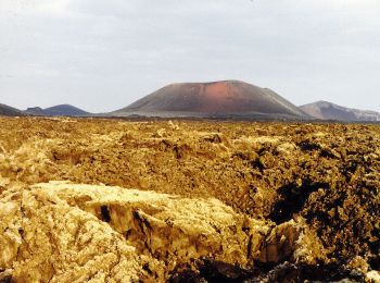
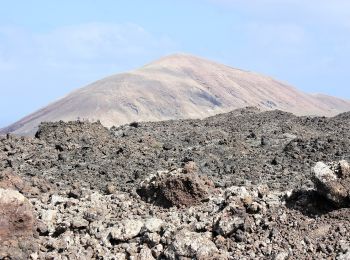
• Montée au sommet du volcan
Wandern
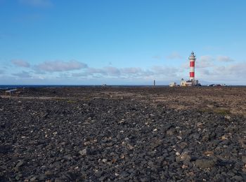
Zu Fuß
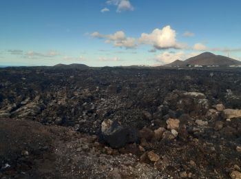
• Trail created by Parque Nacional de Timanfaya.
Zu Fuß
• Trail created by Cabildo de Gran Canaria. Website: http://www.grancanaria.com
Zu Fuß
• Trail created by Ayuntamiento de Teguise.
Zu Fuß
• Trail created by Ayuntamiento de Teguise.
Zu Fuß
• Trail created by Ayuntamiento de Teguise.
Zu Fuß
• The Way is not enough signposted
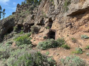
Wandern
Wandern
Wandern
Wandern
Wandern
Wandern
Wandern
Wandern
Wandern
Zu Fuß
• Trail created by Parque Nacional de Timanfaya.
Zu Fuß
20 Angezeigte Touren bei 175
Kostenlosegpshiking-Anwendung
 SityTrail
IGN / Geografische Institute
SityTrail World
Die Welt öffnet sich für Sie