


7,4 km | 10,4 km-effort
Kelmis (Altgemeinde) : Entdecken Sie die besten Touren : 27 zu Fuß und 3 mit dem Fahrrad oder Mountainbike. Alle diese Touren, Trails, Routen und Outdoor-Aktivitäten sind in unseren SityTrail-Apps für Smartphones und Tablets verfügbar.
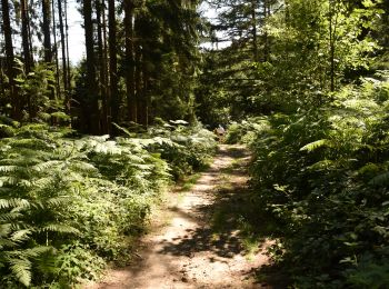
Wandern


Wandern
Wandern
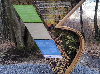
Zu Fuß
• vereinzelt auch noch mit kreisförmigem blauem Klecks gekennzeichnet
Zu Fuß
• Symbol: Gelbes Kreuz auf weißem Grund
Zu Fuß
• Trail created by Stadt Aachen, Fachbereich Umwelt und Fachbereich Stadtentwicklung und Verkehrsanlagen. Website: h...
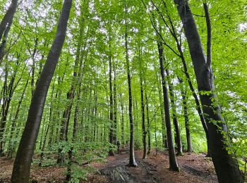
Wandern
Wandern
Wandern
Wandern

Zu Fuß
• Trail created by Gemeinde Kelmis.
Zu Fuß
• Trail created by Stadt Aachen, Fachbereich Umwelt und Fachbereich Stadtentwicklung und Verkehrsanlagen. Website: h...
Wandern

 50.873
sport
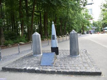
• Départ: Gemmenich (Route des trois Bornes )

Elektrofahrrad

Wandern
Wandern
Wandern
Wandern
109.538
sport
20 Angezeigte Touren bei 35
Kostenlosegpshiking-Anwendung
 SityTrail
IGN / Geografische Institute
SityTrail World
Die Welt öffnet sich für Sie