


23 km | 32 km-effort
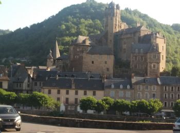
Estaing : Entdecken Sie die besten Touren : 39 zu Fuß, 6 mit dem Fahrrad oder Mountainbike und 16 auf dem Pferderücken. Alle diese Touren, Trails, Routen und Outdoor-Aktivitäten sind in unseren SityTrail-Apps für Smartphones und Tablets verfügbar.
Wandern


Pferd
Fahrrad
Pferd
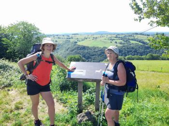
Wandern
Wandern
Wandern
 16.607
sport

Wandern
Wandern
Wandern
Wandern
Wandern
Wandern
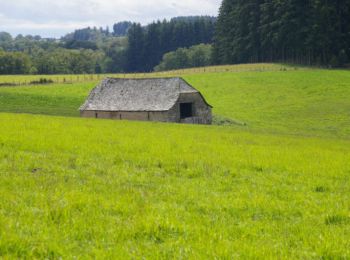
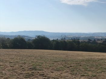
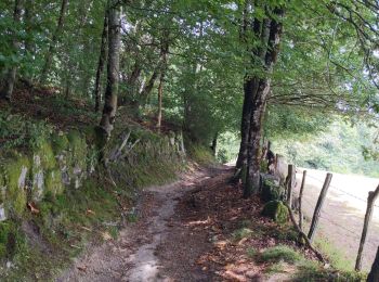
• Des montées dans la foret
Wandern
Wandern
• une bonne partie du GR65 passe par une route très peu fréquentée puis via le chemin de forêt sous les châtaigniers et...
Wandern
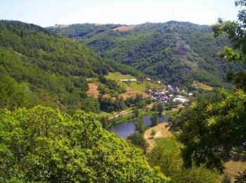
• Chemin de St Jacques de Compostelle Estaing -> Espeyrac
Wandern

Mountainbike
Wandern
20 Angezeigte Touren bei 65
Kostenlosegpshiking-Anwendung
 SityTrail
IGN / Geografische Institute
SityTrail World
Die Welt öffnet sich für Sie