


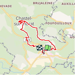

7,7 km | 10,5 km-effort

Benutzer


Kostenlosegpshiking-Anwendung
 SityTrail
IGN / Geografische Institute
SityTrail World
Die Welt öffnet sich für Sie
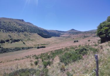
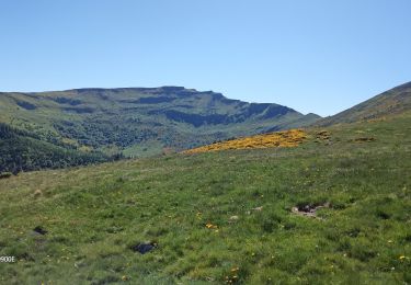
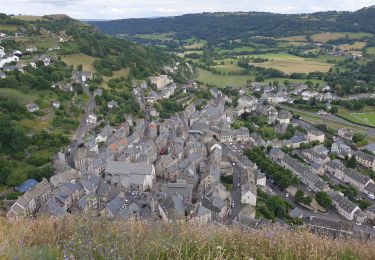
Tour Wandern von 7,7 km verfügbar auf Auvergne-Rhone-Alpen, Cantal, Murat. Diese Tour wird von tracegps vorgeschlagen.
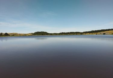
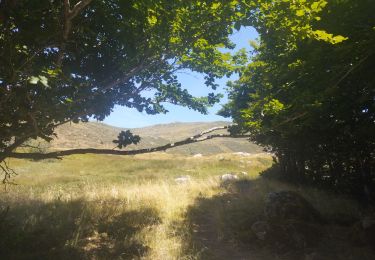
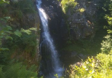
Une balade depuis Murat, au coeur de la Haute-Auvergne, à faire absolument. Balade numérisée sur le terrain par Jean louis Phillipart. Retrouvez cette randonnée dans le topo Guide Chamina Volcan Cantalien.


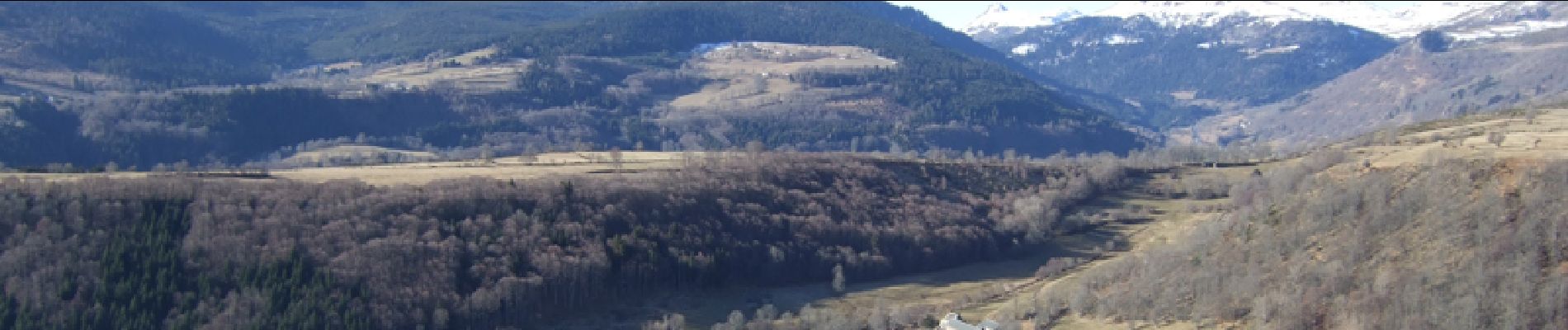
Wandern

Wandern
Wandern
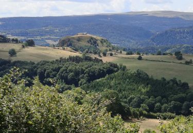
Rennrad
Rennrad
Rennrad
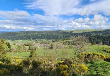
Pfad
Wandern
Wandern